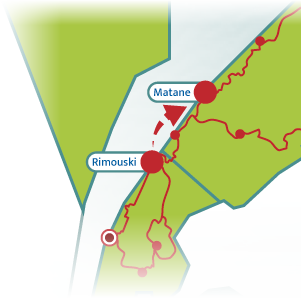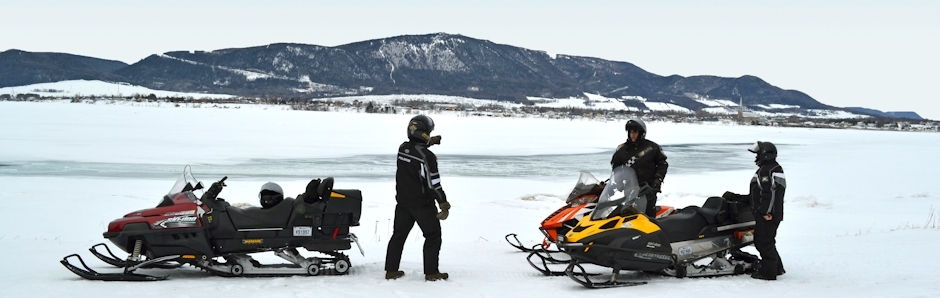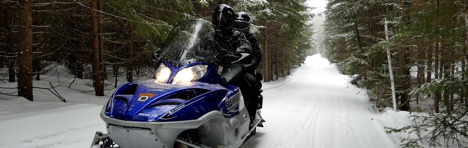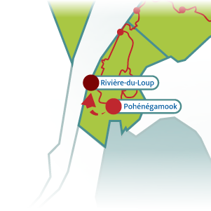
140 km (85 mi.)Rivière-du-Loup to Rimouski
1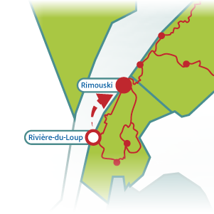
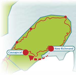
In the Trois-Pistoles area, take trail #518 (via trail #571) and enjoy an exceptionally wide trail section.
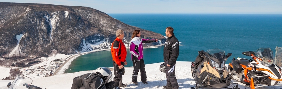
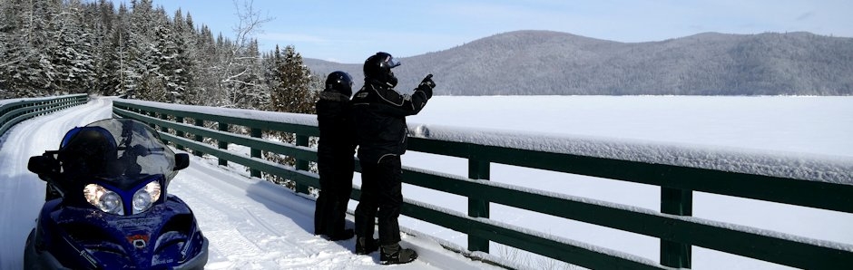
Head next to the lookout in Saint-Fabien (via trail #518 and a local trail) to admire an amazing view of the St. Lawrence River, the nearby coast and Parc national du Bic.